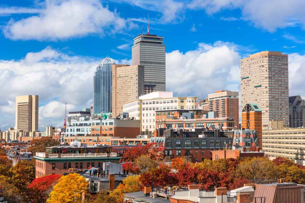
Looking to make the most of Boston’s crisp fall weekends? From food fests to cultural parades and harvest fairs, here’s your weekend-by-weekend guide to the best fall events running from September through November.
At-a-Glance
- Coverage: Boston-wide
- MBTA notes: Most events accessible by Red/Green/Orange Lines
- Budget: Mix of free & ticketed events
- Updated: August 2025
Weekend-by-Weekend Picks
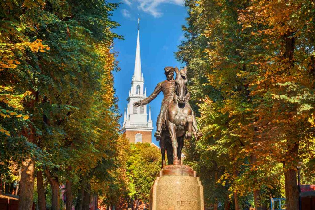
September 6–7: Boston Arts Festival (Christopher Columbus Park, North End)
Boston kicks off fall with a juried showcase of visual and performing arts. Expect local painters, sculptors, and photographers alongside live music on the waterfront. Great for browsing and picking up affordable art.
- Price: Free
- MBTA/Parking: Aquarium (Blue Line) or Haymarket (Green/Orange)
- Accessibility: Flat park paths, stroller/dog friendly
- Link: bostonartsfestival.org
September 20–21: South Boston Street Festival
This long-running Southie tradition transforms East Broadway into a corridor of music, food stalls, and local vendors. A family-friendly day with live bands and community flavor.
- Price: Free
- MBTA/Parking: Broadway (Red Line)
- Accessibility: Street-level, stroller friendly, some side-street bathrooms
- Link: sbndc.org/streetfest
September 27–28: Oktoberfest at Harpoon Brewery (Seaport)

Harpoon’s annual Oktoberfest delivers craft beer, live oompah music, and food trucks. It’s crowded but festive—grab a pretzel and join the stein-hoisting contest.
- Price: $$ (~$25 entry + food/drink)
- MBTA/Parking: Silver Line Courthouse
- Accessibility: Large tent setup, portable restrooms, not stroller ideal
- Link: harpoonbrewery.com
October 4–5: Cambridge Oktoberfest & HONK! Parade (Harvard Square)
A mix of global street bands, activist energy, and Oktoberfest food stalls. The HONK! Parade is loud, colorful, and one of Boston’s most spirited events.
- Price: Free
- MBTA/Parking: Harvard (Red Line)
- Accessibility: Street event, stroller friendly, crowds dense
- Link: harvardsquare.com
October 11–12: Indigenous Peoples Day Newton Powwow (Newton Centre Green)
Celebrate Indigenous music, dance, and culture with craft vendors and food. A quieter, family-friendly festival honoring Native traditions.
- Price: Free
- MBTA/Parking: Newton Centre (Green Line D)
- Accessibility: Grass/lawn surface, portable toilets, stroller accessible
- Link: indigenouspeoplesdayma.org
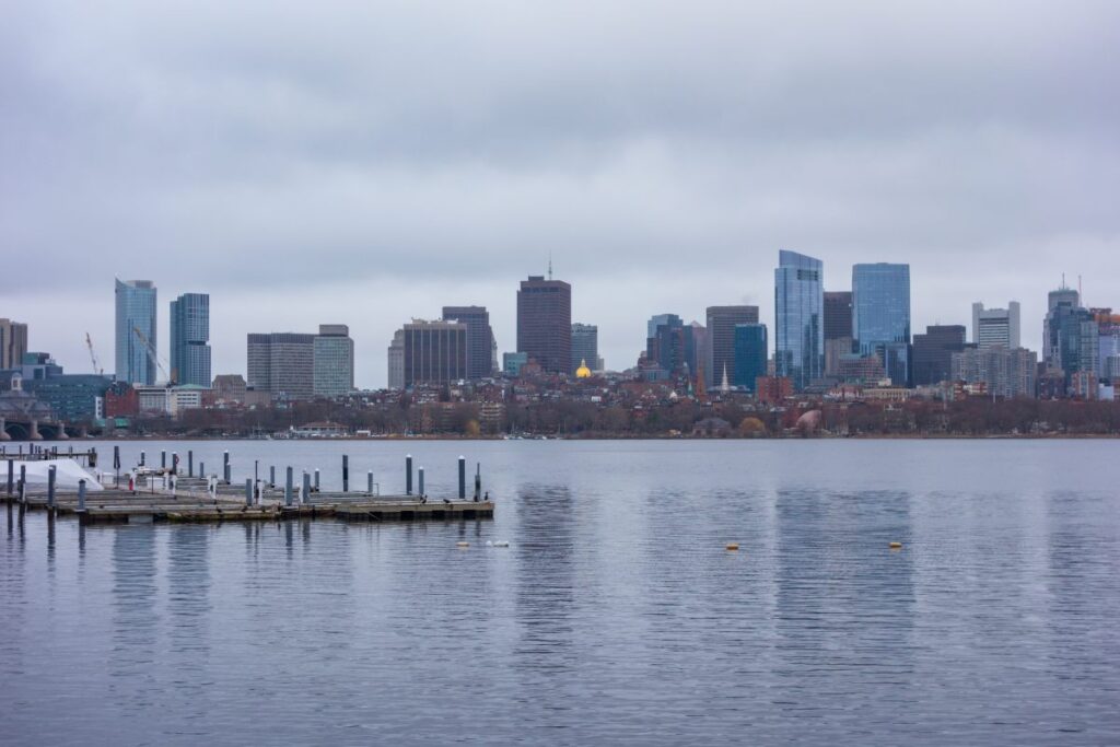
October 18–19: Head of the Charles Regatta (Cambridge/Boston)
The world’s largest 2-day rowing event brings elite crews and huge crowds along the Charles River. Best views near Eliot Bridge or Weeks Footbridge.
- Price: Free
- MBTA/Parking: Harvard/Central (Red Line)
- Accessibility: Riverbank paths, portable restrooms, not stroller ideal
- Link: hocr.org
October 25–26: Boston Veg Food Fest (Reggie Lewis Center, Roxbury)
One of the longest-running plant-based food festivals in the U.S., with tastings, cooking demos, and vendors. A must for veg-curious eaters.
- Price: Free
- MBTA/Parking: Roxbury Crossing (Orange Line)
- Accessibility: Indoor event, wheelchair/stroller accessible bathrooms
- Link: bostonveg.org
November 1: Día de los Muertos Festival (East Boston)
Community altars, dance, and food celebrate Mexican Day of the Dead traditions. Expect marigolds, papel picado, and family-friendly art activities.
- Price: Free
- MBTA/Parking: Maverick (Blue Line)
- Accessibility: Indoor/outdoor mix, stroller accessible
- Link: meetboston.com
November 9: Boston Comedy Festival (Somerville)
A week-long series, but the opening weekend packs headliner shows and competitions. A lively pick for a colder November night.
- Price: $$–$$$
- MBTA/Parking: Davis (Red Line)
- Accessibility: Theater seating, wheelchair accessible
- Link: bostoncomedyfest.com
November 16: Boston International Fine Art Show (Cyclorama, South End)
Boston’s only curated fine art fair, featuring galleries from across the U.S. Gives everyone a chance to browse museum-quality works in a historic setting.
- Price: $$ (~$15 entry)
- MBTA/Parking: Back Bay (Orange Line) or Arlington (Green Line)
- Accessibility: Indoor venue, wheelchair accessible
- Link: fineartboston.com
November 23–24: Boston Christmas Festival (Seaport World Trade Center)
Yes, Christmas comes early—this massive craft show features 300+ artisans, specialty foods, and holiday décor. A festive finale to the fall season.
- Price: $$ (~$20 entry)
- MBTA/Parking: Silver Line World Trade Center
- Accessibility: Indoor venue, wheelchair accessible, stroller friendly
- Link: bostonchristmasfestival.com
Recommendations
If you’re new to Boston, prioritize Head of the Charles for sheer spectacle, and HONK! Parade for street-level joy. For food lovers, Harpoon Oktoberfest and Boston Veg Food Fest bookend the season perfectly. And if you’re looking to shop early, the Christmas Festival is unmatched.
{ “@context”: “https://schema.org”, “@type”: “ItemList”, “name”: “The Insider’s Guide to Boston’s Best Fall Festivals, Events & Activities”, “dateModified”: “2025-08-22”, “numberOfItems”: 11, “itemListElement”: [ {“@type”: “ListItem”, “position”: 1, “item”: {“@type”: “Place”, “name”: “Boston Arts Festival”, “address”: “Christopher Columbus Park, Boston, MA”, “areaServed”: “North End”, “url”: “https://www.boston.gov/artsfestival”}}, {“@type”: “ListItem”, “position”: 2, “item”: {“@type”: “Place”, “name”: “South Boston Street Festival”, “address”: “East Broadway, Boston, MA”, “areaServed”: “South Boston”, “url”: “https://sbstreetfestival.com”}}, {“@type”: “ListItem”, “position”: 3, “item”: {“@type”: “Place”, “name”: “Harpoon Brewery Oktoberfest”, “address”: “306 Northern Ave, Boston, MA”, “areaServed”: “Seaport”, “url”: “https://harpoonbrewery.com”}}, {“@type”: “ListItem”, “position”: 4, “item”: {“@type”: “Place”, “name”: “HONK! Festival & Parade”, “address”: “Harvard Square, Cambridge, MA”, “areaServed”: “Cambridge”, “url”: “https://harvardsquare.com”}}, {“@type”: “ListItem”, “position”: 5, “item”: {“@type”: “Place”, “name”: “Indigenous Peoples Day Powwow”, “address”: “Newton Centre Green, Newton, MA”, “areaServed”: “Newton”, “url”: “https://indigenouspeoplesdayma.org”}}, {“@type”: “ListItem”, “position”: 6, “item”: {“@type”: “Place”, “name”: “Head of the Charles Regatta”, “address”: “Charles River, Cambridge/Boston, MA”, “areaServed”: “Allston/Cambridge”, “url”: “https://hocr.org”}}, {“@type”: “ListItem”, “position”: 7, “item”: {“@type”: “Place”, “name”: “Boston Veg Food Fest”, “address”: “Reggie Lewis Center, Boston, MA”, “areaServed”: “Roxbury”, “url”: “https://bostonveg.org”}}, {“@type”: “ListItem”, “position”: 8, “item”: {“@type”: “Place”, “name”: “Día de los Muertos Festival”, “address”: “East Boston, MA”, “areaServed”: “East Boston”, “url”: “https://ebtac.org”}}, {“@type”: “ListItem”, “position”: 9, “item”: {“@type”: “Place”, “name”: “Boston Comedy Festival”, “address”: “Somerville Theatre, Somerville, MA”, “areaServed”: “Somerville”, “url”: “https://bostoncomedyfest.com”}}, {“@type”: “ListItem”, “position”: 10, “item”: {“@type”: “Place”, “name”: “Boston International Fine Art Show”, “address”: “Cyclorama, Boston, MA”, “areaServed”: “South End”, “url”: “https://fineartboston.com”}}, {“@type”: “ListItem”, “position”: 11, “item”: {“@type”: “Place”, “name”: “Boston Christmas Festival”, “address”: “Seaport World Trade Center, Boston, MA”, “areaServed”: “Seaport”, “url”: “https://bostonchristmasfestival.com”}} ] }