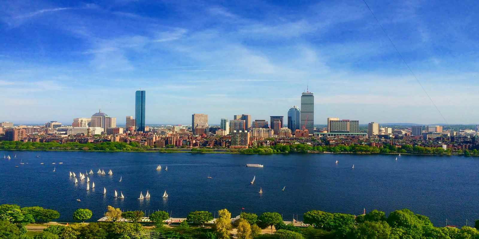
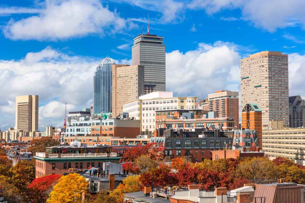
Fall in Boston means crisp air, changing leaves, and plenty of ways to fill a day without leaving the city. Here’s a mix of outdoors, indoors, and seasonal events—all MBTA-friendly—for when you’ve got a free day to make the most of September and October.
At-a-Glance
- Neighborhoods: Citywide (North End, South End, Fenway, JP, Dorchester, Cambridge, more)
- MBTA stops: Red, Green, Orange, Blue, Silver lines covered
- Mix: Outdoors walks • Festivals & events • Indoor culture & food
- Best timing: Early fall weekends, afternoons for foliage
- Price tiers: Free, $, $$
- Updated: August 2025
Arnold Arboretum Foliage Walk — Jamaica Plain
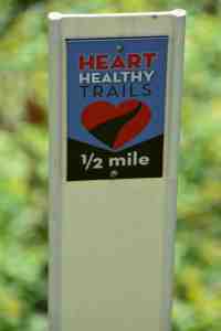
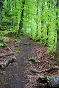
The Arboretum turns into a fall postcard by late September, with maples and oaks lighting up in red and gold. Paths range from paved to dirt, making it easy to tailor a short stroll or a longer loop. Bathrooms sit at the Hunnewell entrance, and the Orange Line to Forest Hills puts you a ten-minute walk away. Aim for the morning if you want quieter paths.
- Cost: Free
- MBTA/Parking: Forest Hills (Orange Line); limited street parking
- Accessibility: Paved sections stroller- and wheelchair-friendly
- Link: arboretum.harvard.edu

SoWa Open Market — South End
Every Sunday in fall, SoWa mixes art vendors, vintage finds, and plenty of food trucks. The atmosphere leans festive without being overwhelming, and the open-air layout makes it a good way to spend a few hours. Grab lunch from a rotating set of trucks, then browse local makers.
- Cost: Free entry; food and goods $–$$
- MBTA/Parking: Broadway or Back Bay (Red/Orange Line)
- Accessibility: Fully paved, open layout
- Link: sowaboston.com
MFA Fall Exhibits — Fenway
The Museum of Fine Arts shifts into fall with big-ticket exhibits and reliable permanent collections. It’s an easy pivot if the weather turns, and you can time your visit for a weekday afternoon when galleries are calmer. Free entry on Wednesday evenings makes it budget-friendly.
- Cost: $$ (~$27 general admission; free Wed 5–9)
- MBTA/Parking: Museum of Fine Arts stop (Green Line E)
- Accessibility: Fully ADA accessible
- Link: mfa.org
Head of the Charles Regatta — Cambridge
Late October brings the Head of the Charles, a weekend-long rowing event that pulls spectators along both sides of the river. It’s busy but fun—plan to stand or bring a folding chair, and layer up against the breeze. The view from Weeks Footbridge gives you one of the best vantage points.
- Cost: Free
- MBTA/Parking: Harvard or Central (Red Line)
- Accessibility: Uneven grass along banks; paved bridges
- Link: hocr.org
Greenway Carousel & Farmers Market — North End
- Why: Seasonal produce and a whimsical carousel in the same stop. Families can snack, spin, and shop without leaving the park.
- Cost: Free entry; market goods $
- When: Fridays and Saturdays
- MBTA: Haymarket (Green/Orange)
- Accessibility: Paved, stroller-friendly
- Link: rosekennedygreenway.org
Castle Island Stroll — South Boston
- Why: Breezy walk around Fort Independence with harbor views. It’s a neighborhood staple and always feels calmer in the shoulder season.
- Cost: Free
- When: Mornings for fewer crowds
- MBTA: Broadway (Red Line) + #9 bus
- Accessibility: Paved, stroller- and wheelchair-friendly
- Link: mass.gov/locations/
Boston Book Festival — Back Bay
- Why: Author talks, book browsing, and family activities each October. The energy in Copley Square makes it feel like a citywide book club.
- Cost: Free
- When: October weekend dates
- MBTA: Copley (Green Line)
- Accessibility: Outdoor tents + library venues
- Link: bostonbookfest.org
Sam Adams Taproom Fall Flights — Downtown
- Why: Try seasonal brews on the rooftop deck with skyline views. The pumpkin and Oktoberfest pours are local favorites.
- Cost: $$ (~$12–15 for flight)
- When: Afternoons; weekends fill up
- MBTA: Downtown Crossing (Red/Orange)
- Accessibility: Elevator access
- Link: samueladams.com
Eastie Pumpkin Mural Walk — East Boston
- Why: Local artists add seasonal murals near Maverick Square. It’s a colorful photo stop that changes every year.
- Cost: Free
- When: September–October
- MBTA: Maverick (Blue Line)
- Accessibility: Paved sidewalks
- Link: eastbostonmainstreets.org
Fenway Park Tour — Fenway
- Why: Off-season tours show the park’s history and Green Monster views. Guides mix fun trivia with serious baseball lore.
- Cost: $ (~$25)
- When: Daily tours, check schedule
- MBTA: Kenmore (Green Line)
- Accessibility: Some stairs; call ahead for ADA routes
- Link: mlb.com/redsox/ballpark/tours
ICA Watershed — East Boston
- Why: Seasonal art space in a converted shipyard; open through fall. The ferry ride adds a bonus harbor view.
- Cost: Free with ICA admission
- When: Weekends
- MBTA: Maverick (Blue Line) + ICA ferry
- Accessibility: Fully ADA accessible
- Link: icaboston.org
JP Loring-Greenough House Lawn — Jamaica Plain
- Why: Community lawn events, from concerts to cider tastings. The historic setting adds charm to casual gatherings.
- Cost: Free–$
- When: Fall weekends
- MBTA: Stony Brook (Orange Line)
- Accessibility: Lawn surface, uneven in spots
- Link: loring-greenough.org
Franklin Park Zoo Fall Days — Dorchester
- Why: Cooler weather makes animals more active; kids love the seasonal decor. The giraffe and lion enclosures draw steady crowds.
- Cost: $$ (~$24 adult, $17 child)
- When: Weekends in September–October
- MBTA: Forest Hills (Orange Line) + bus
- Accessibility: Paved paths, stroller-friendly
- Link: franklinparkzoo.org
Trillium Beer Garden — Greenway
- Why: Outdoor beer garden with local brews and city views. Groups spread out easily, and the vibe feels relaxed even downtown.
- Cost: $$ (~$8–10 per pour)
- When: Early evenings
- MBTA: South Station (Red Line)
- Accessibility: Paved, open-air
- Link: trilliumbrewing.com
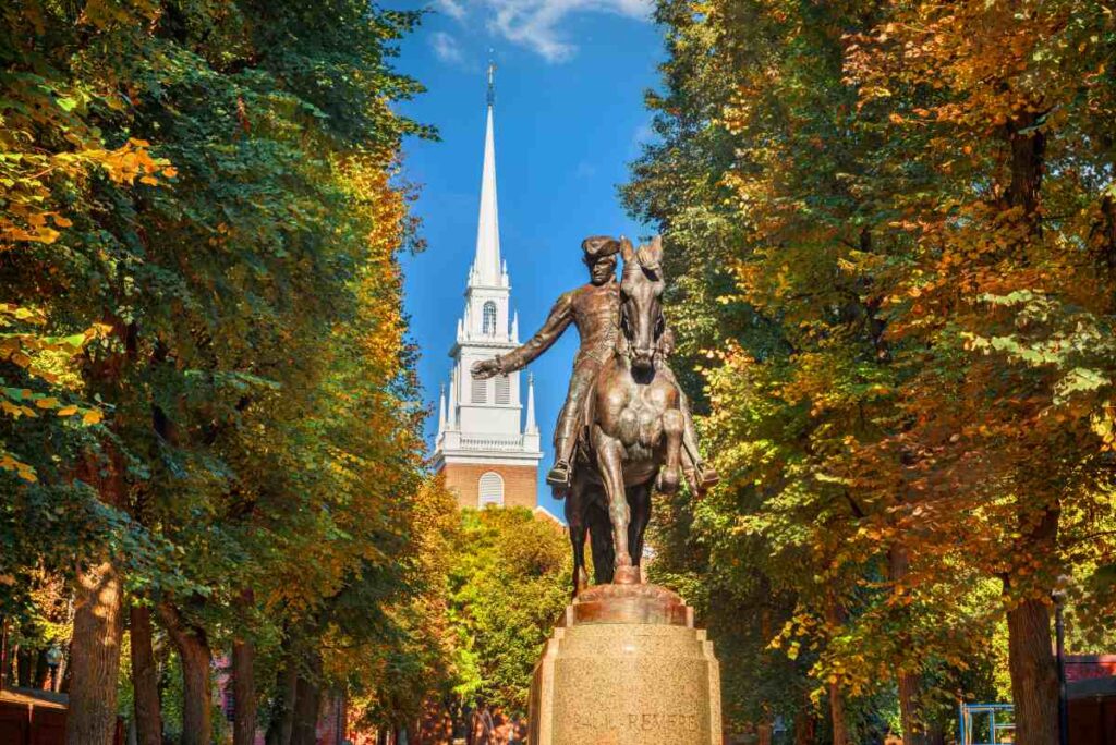
Old North Church Lantern Tour — North End
- Why: Evening tours add atmosphere to a classic site. The lantern-lit setting feels especially right in crisp fall air.
- Cost: $ (~$10–15)
- When: September–October evenings
- MBTA: Haymarket (Green/Orange)
- Accessibility: Historic building, uneven floors
- Link: oldnorth.com